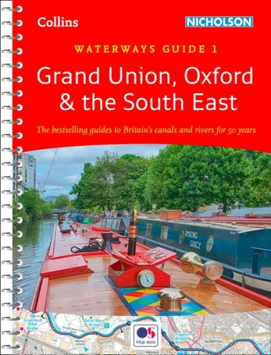
This guide covers the Chelmer & Blackwater Navigation, Grand Union Canal, Lee & Stort Navigations, River Medway, Oxford Canal, and River Thames. It is suitable for all types of waterway users.
The Ordnance Survey® maps provide details of the area, including essential features such as locks, towpaths, and boating facilities, as well as pubs, shops, and restaurants. Moreover, the maps offer comprehensive navigational notes and descriptive text on the history, local services, and places of interest, complete with postcodes, making it ideal for use with sat-navs.
This practical A5 guide features a ‘lie flat’ spiral binding and a ‘book mark’ back cover flap for ease of reference.
Guide includes:
- Detailed Ordnance Survey® maps
- Descriptive text describing the canals
- Comprehensive navigational notes
Comprehensive navigational notes include:
- Maximum dimensions and low bridges
- Mileages, advice and potential hazards
- Navigation authorities and contact details
See our full range of Nicholsons Guides.


Richard –
My partner and I are big fans of this book series and have collected the complete set since we frequently embark on canal trips. The maps are incredibly detailed and accurate, while the descriptions of towns, villages, and attractions are highly informative and helpful.